
Tips for Mobile Map Applications with GPX Import
An ideal tool for navigation in nature is a mobile phone with a suitable application. What do we recommend?
You may have noticed the possibility to download the trip route as a GPX file on this site. In order to view the route on a mobile on a (offline) map, you must have an application that supports the import of GPX files. There are many, but we recommend the following:
Once you install one of the apps, your phone should offer you to open each GPX file you download. If you download offline maps to the app, the route will appear on the map so you can enjoy your trip.
Mobile app with the best maps
Let's take a look at our selection of 3 applications with the best maps for navigation in nature.
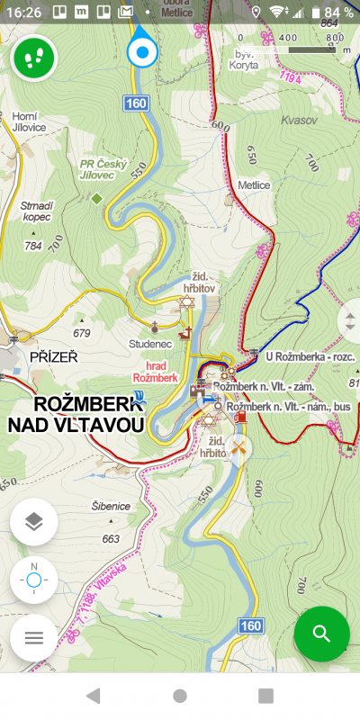
Mapy.cz / Windy maps
You can download Mapy.cz here: Android and iOS.
Windy maps (English) can be downloaded here: Android and iOS.
Mapy.cz app from Seznam has been settled in the phones of Czech tourists quite a long time ago, so it is not necessary to introduce it endlong. For the world market, these maps are available under the Windy Maps application, which differs virtually only in the language version.
Map data for the Czech Republic is supplied by SHOCart, which is usually an advantage, but sometimes it can be a disadvantage, too. In a nicely drawn map you will find marked hiking and cycling trails and other points of interest. But beware of paths and dirt roads not marked with any tourist mark. Sometimes it may be an old, unused footpath that over time grows with vegetation and is not so easy to find or walk.
Fortunately, you can download all maps offline. Maps also allow you to record routes.
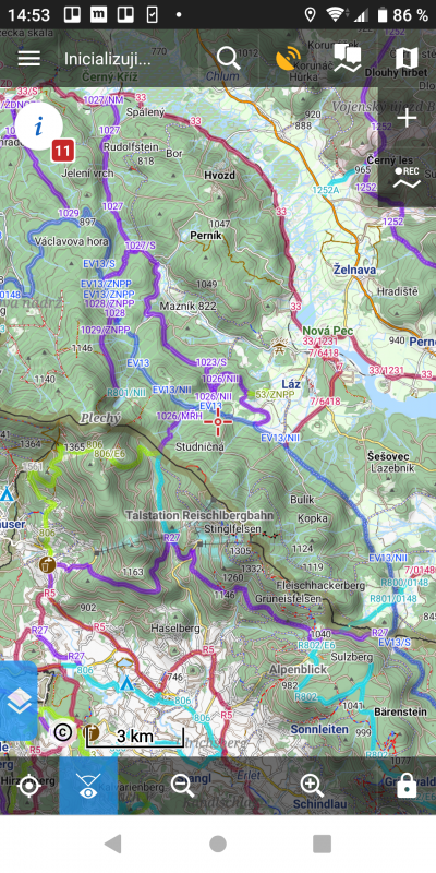
Locus Maps
Download here: Android.
This application will be appreciated mainly by more advanced users of Android phones. Unfortunately, the app is not available on Apple phones.
You can choose the map data yourself. You can choose from many online versions of Open Street Map (see below), topographic maps of various regions around the world and Czech satellite imagery.
Did you know: Open Street Map is something like Wikipedia for maps. It is made by users who add paths, routes, points of interest and other elements to the map they visit. Roads and buildings are imported automatically. Perhaps you use these maps in other applications without knowing it. The data in these maps is more accurate, because someone has to actually walk along the path to discover it and put it on the map. In some areas there is more data in SHOCart, in others in Open Street Maps, so if you're not sure about the route, it's worth checking it on both maps.
Some online maps can be downloaded, but they will take up a lot of space on your phone because they are in raster format.
Did you know: A raster map is made up of image tiles. It is as if you took a picture of the screen on mapy.cz for every piece of the Czech Republic and put them together. So it's easy to download and render, but it takes up a lot of space. In addition, a new map is needed for each zoom in. In contrast, a vector map is made up of lines, points, shapes, and information about them. It is more like a document where it is stated that eg the Vltava passes through given GPS coordinates. The vector map needs to be rendered, but it takes up less space and the resulting images will always be sharp.
If you want a high quality offline map based on Open Street Map data, Locus has a solution. DownloadOpenAndroMaps.org vector map of Czech Republic and open it. If it is not offered to open directly in Locus, unzip the downloaded zip file and upload it to / Locus / maps (or / Locus / mapsVector) on your phone. The next time you start the map, it should load.
Also, on the page above, tap the "Install Renderthemes" button to download the map style needed to render it. The latest map style is listed at the top of the page (at the time of writing Elevate 4). Download it by tapping the Locus button. Locus should be offered to automatically install the style.
And it is done. Now you can easily have an offline map of the whole world. You can set the map style - focus on walking or cycling and bike navigation. As one of the few, this style allows Open Street Maps to display mountain bike difficulty, which is invaluable when planning a bike trip.
In the paid version, Locus can display map shading, which is not provided by mapy.cz. It can also help you to plan a route fairly and calculate altitude profiles.
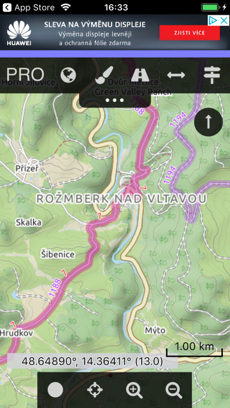
Cartograph 2
Download here: iOS.
According to our surveys, Cartograph 2 is the only applicable application to display Open Street Maps with Elevate 4 (described above) on iPhone.
Compared to Locus, it is less intuitive, has fewer features, looks worse and has a limited free version, but is for Apple.
More tips
- Maps.me - a quality application on Open Street Maps for free and without ads, but only opens the KML format (Android, iOS)